Total miles: 11.6
Elevation gain: 2,333ft
Time walking: 9:45am – 6:30pm
Miles to date: 1,334.7
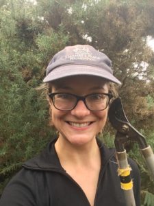
Today was a fun day! I walked the first couple of miles alone, with the first hill out of two for the day (hilliest day I’ve had since before Inverness!) to get my legs warmed up, to a spot where I had planned to meet Jay, the trail guy. Jay had parked further up along the path and walked back to meet me, armed with loppers and a sickle. It was trailblazing time!
Over the next three hours we travelled all of about one or two miles, clearing the overgrown path on our way. It was slow but satisfying work – it felt great to actually be helping to “build” the path as I went! It was also amazing to have Jay guiding me through the potentially tricky section. It would have been hard to follow here, with such thick undergrowth and, until now, no waymarkers.
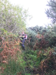
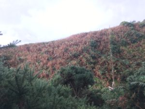
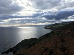
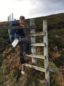
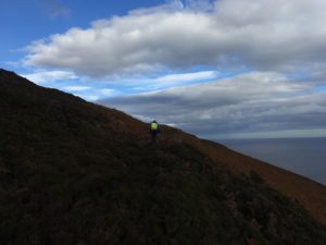
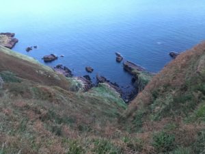
The weather was stunning today, still and sunny, and hot at points! Well ok…warm…! It was the first real time being up on the cliffs instead of down at the beach which led to some amazing views. After the morning’s trailblazing, with gorse-scratched hands and aching arms (makes a change from aching legs I suppose), we headed out into slightly more open country, traversing steep heather and bracken-covered slopes that rolled down to the sea far below (not a section for vertigo-sufferers!). A few way markers got added here to help guide future users of the trail and then, after scaling a 6-foot deer fence (which thankfully had been graced with a ladder stile) it was time to head off on my own again, with a few more pointers from Jay.
The countryside opened up into coastal moorland and I was reminded of the Pennine Way. Happy memories, and I can’t believe that was a month ago already. It felt good to feel on top of the world again. The highlight of the afternoon was seeing a beautiful red deer stag run out of the heather just in front of me. He was majestic and magnificent and magical and a dream come true! When I first saw him out of the corner of my eye I thought it was perhaps a pheasant or something, but as he jumped out onto the rough track, barely 10 metres in front of me I was faced with a fully grown stag, with elegant antlers and a look of proud surprise in his eyes. I’d heard the red deer calling several times in Scotland, but I had barely dared to hope I might actually get to see one, let alone one so up close and personal. He trotted off ahead of me, before leaving the track and bounding away over the heather and out of sight. As if that wasn’t enough, later I saw a female deer and her calf too. I can tell it’s wild up here!
After this rather glorious section I had to detour from the trail to join the A9 – oh road of infamy on LEJOG! Sadly, the section of the trail that drops down into the deep Ousdale valley requires a burn crossing that is not safe for me to attempt on my own. It’s probably the only section of the trail I won’t be able to attempt, and I’m a little bit gutted, but safety comes first, and after my rather hairy crossing of Loth Burn two days ago I’m definitely playing it safe today! Still, I was quite intrigued to see what walking along the A9 might be like. I’ve heard that it’s awful and monotonous and comes with its own dangers (in the form of narrow verges and racing cars) – perhaps it is all part of the LEJOG adventure? [Edit: I believe this section of the trail has been much improved and there may even be a bridge across the burn now, hurrah!]
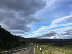
Well, the A9 wasn’t absolutely awful, but I’m glad I’ve not followed it for days on end! A mile or so was plenty! The scenery was still beautiful although of course you don’t get the stunning views of the sea, or the precipitous cliffs and crashing waves, and yes, the road was surprisingly busy.
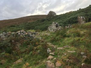
I rejoined the trail at the Badbea clearance village. There’s little more here now than the tumbled ruins of cottages, and a monument in memory of the families who settled here in the 18th and 19th centuries after being evicted from their homes during the Highland Clearances. It’s a beautiful but lonely and exposed place, and even on a warm day the breeze gives a chilling impression of how tough life must have been up here. The ground was poor and rumour has it that in strong winds the villagers would tie their children and animals down so they didn’t blow off the cliff into the sea!
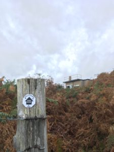
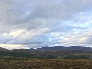
I continued my walk in the glorious sunshine, giving my thanks to the weather gods, barely believing this was October! I smiled each time I came across the distinctive black and white octagonal JoG Trail way markers. the trail was easy and pleasant here. At points I had clear views out to mountains inland, and oil rigs far out to sea.
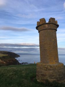
Approaching Berriedale I see two towers on the hillside. Known as “the Duke’s Candlesticks”, they look a little like chess pieces, and were used for navigational purposes. Fires would be lit in them and ships would find the safe approach into the harbour at Berriedale by ensuring the towers were in line.
Dropping down into Berriedale itself I have a great view of the famous hairpin bends climbing up back out of the village on the other side. Articulated lorries have been known to get stuck there, and I’m glad to discover there’s a bridge over the river closer to the sea so I don’t need to take to the road again.
I’m staying just outside Berriedale, so I have to make the climb up the hillside, and the light is just starting to fade. The trail runs rather precariously close to the edge of steep cliffs here, and I have to hold both my nerve and my concentration. I skirt along the edge of a field of cows, unsure whether I more fearful of the cows to my left or the sharp drop to my right! Thankfully, they only half-looked at me before returning to chew the cud, and I breathe a sigh of relief, returning my focus to staying upright and on top of the cliff.
Tonight the rain has come in and I’m listening to it drum on the roof. I’m in an attic room and the sound is glorious. Glad I’m not camping tonight though!
