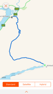
Total miles: 15.7
Elevation gain: 2,275 ft
Time walking: 9am – 4pm
Miles to date: 1,143.2
The final day of the West Highland Way and I have mixed feelings about it! It felt really tough and I’m not sure whether it was the terrain or just me feeling tired. The long trek through the Lairig was stunning but felt like it went on forever and was rough and wet underfoot, then the stunning views of Ben Nevis and Glen Nevis from Dun Deardail made everything worthwhile, even the dull anticlimactic trek along the road to the end of the Way!
Once again the day started off wet, heavy rain on the tent and I could feel the damp through the groundsheet. Remarkably my sleeping bag remained more or less dry other than a damp patch near the feet, caused by the combined effects of condensation and heavy rain. So it was a case of packing everything up in the tent again, which I’m getting rather a dab hand at now, then out into the morning to face the rain and the midges. I don’t know what magic I have with the weather but the rain held off while I cooked my breakfast and made a cup of tea, I just had to walk around constantly while eating it to try to avoid the worst of the midges! The tent was soaking wet, even the inner tent, so I’m hoping I’ll be able to air it out at some point before I next use it. If nothing else, it’s amazing how heavy it is when wet!
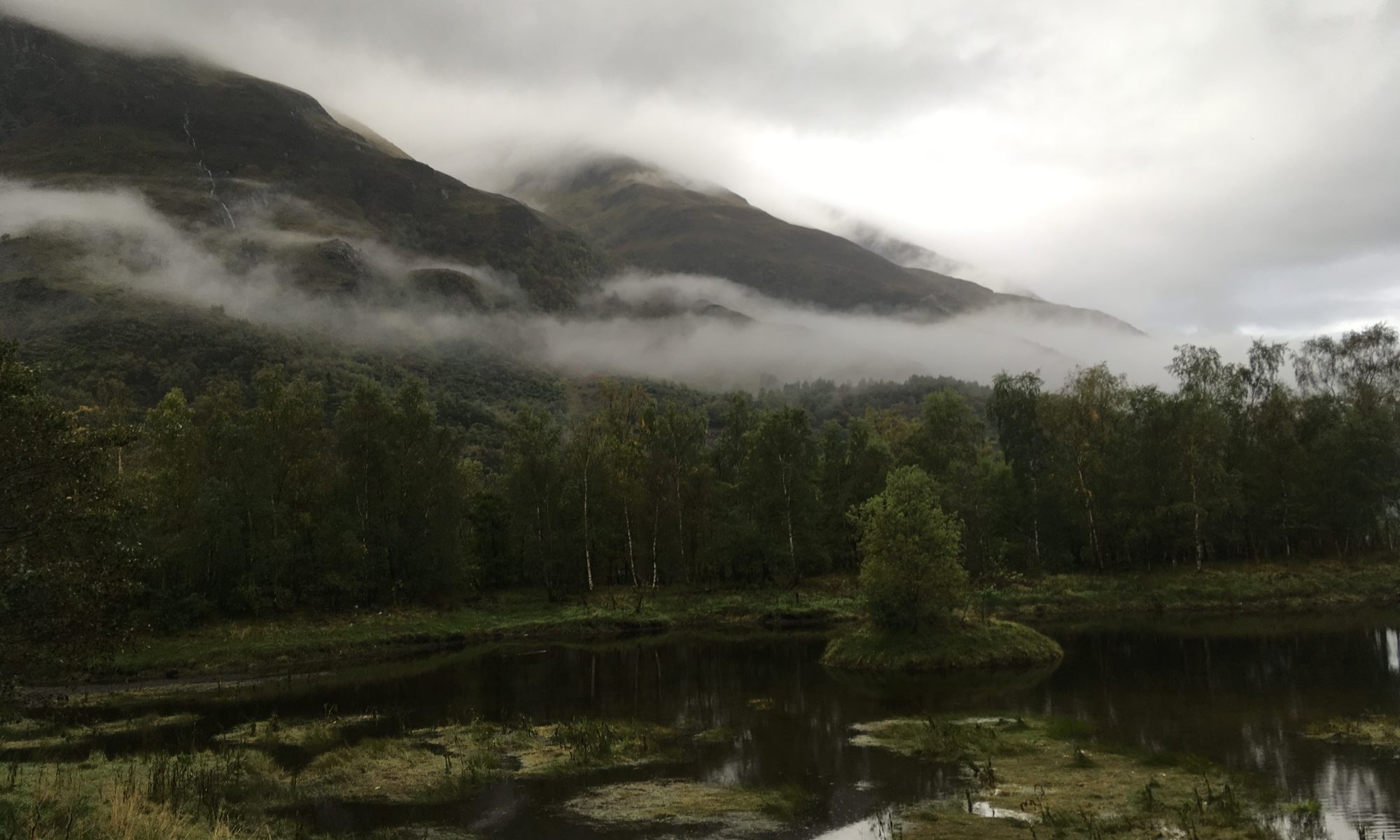
The loch and surrounding hills were beautiful this morning, with wisps of cloud drifting over the slopes. The first part of the route climbed up fairly steeply through pretty birch woods, emerging onto rocky outcrops with stunning views back down to the village and the loch. It was a tough climb for first thing in the morning though! It kept drizzling but it was also quite muggy and it was hard to know whether to stick with the waterproofs or not. I ended up ditching them and putting up with the drizzle, until a heavier burst of rain later in the morning.
The last day of the trail follows an old military road up through the Lairig – a shallow U-shaped valley between stunning mountain ridges. It feels wild and remote, except for the somewhat incongruous wide stony track heading off endlessly into the distance and an ant-trail of fellow hikers. There are several potential wild camping spots here and although they all look a little on the damp side I bear them in mind for the future. It would be a stunning place to camp and although they are right by the path I think there wouldn’t be many people passing at the end of the day – perhaps just a few going north to south. I looked at my Strava app thinking I’d probably walked about 4 miles or so and was shocked to see I had only covered 2.8 miles. Oh dear, was it going to be one of those days?! My legs and feet already felt tired and it looked like the Lairig was going to be a bit of a long slog. There were lots of hikers sharing my path today, I could see them strung out ahead of me and behind me. Although I’ve seen lots of people on the Way it was strange to see so many all at once. It is definitely a popular trail! It was quite nice though, passing or being passed by people and starting to get to know them a bit. I bumped into the nice American couple again and they asked after my night wild camping, and later in the day I walked with two women who I had first chatted to a few days ago. It was also reassuring to see other people huffing and puffing a bit. The trail looked like it should be relatively easy, but it wasn’t!
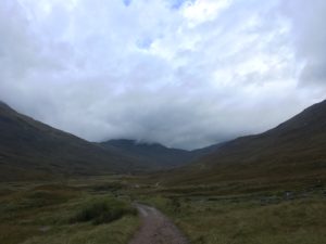
There were a couple of ruined cottages or farm buildings along the way and both sets had some areas of flat grass around them, another option for wild camping potentially. One thing that definitely wasn’t in short supply was water! The fascinating thing was when the rivers changed direction. Up until a certain point all the streams flowing off the hill had joined a river that flowed back down the valley to Kinlochleven, but there came a point where I suddenly realised all the streams were now heading to a river flowing in the opposite direction, down the valley in the direction I was headed! This was exciting, it felt like I must have reached a saddle and be descending slightly. It was still a while before the path finally turned the corner and felt like it was headed for home, and even then there was still another 8 or so miles to go, but at least it felt like things were getting a bit more varied. The path descended into clear-felled forest, quite eerie with all the old tree stumps but nice to not be walking in gloomy plantations. I stopped to eat some lunch perched on a tree stump but was quickly surrounded by midges so headed on, not really feeling like being eaten while I ate!
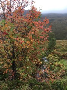
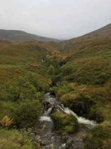
The weather started to improve and the sun even tried to come out, the air was still and it started to get warm. It was very pretty, particularly the view back down to Lundavra and its little loch (apparently Macbeth stayed on the island there) with the sun shining on it. An information board told of the history of the area, from the pursuit of the Argyll forces after the battle of Inverlochy to the communities who farmed the limestone-rich soil. If hills could speak what stories they would tell! The path was up and down through the cleared forest and eventually the mass that is Ben Nevis came into view, partially covered in cloud. Gosh, it’s big! And impressive. Suddenly I’m a bit daunted that I’m planning to climb it tomorrow! And excited.
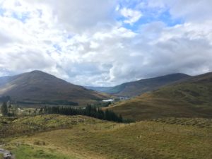
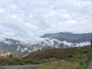
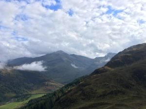
A bit further on, just before the descent into Glen Nevis, there is a turn off to the ancient fort of Dun Deardail. I’d read in a guidebook that the fort was vitrified (stone turned to glass by fire) and that the views into Glen Nevis were superb, so although I was tired and the fort was an uphill detour I decided to take a look. Well, I was a little disappointed not to see any vitrified rock but boy oh boy the views were worth it. Knocked socks off anything I’d seen today and turned a day I wasn’t enjoying all that much (it just felt slow and my legs and feet were struggling) into a splendid day. The view across to Ben Nevis was awe-inspiring and I could clearly see the mountain track, my route for tomorrow, heading up the edge. Glen Nevis itself was beautiful and wound up to the east into more tantalising peaks. To the west, at sea level (or more or less, I think) was Fort William, looking rather a long way away but at least closer than it had been all day!
The descent into the Glen was along a wide forest track which wasn’t terribly inspiring. The woods were pretty enough, I was just keen to get to my hostel now! The final stretch of the Way follows the pavement along the main road into town which is a bit of a shame. I think there are some forest tracks which get you into town in a slightly nicer fashion so I’m not sure why the WHW doesn’t follow them, I can only imagine it’s because the Glen Nevis visitor centre is along the main road and they like you to visit! It was a bit of a slog, the last couple of miles, but thankfully my hostel was this side of town, albeit up a hill.
It was a rather anticlimactic end to the Way really, although I’d been forewarned of that so I made my hostel and a hot shower my goal! And ohh that hot shower felt good after a couple of days camping! I wandered down into town to pick up food from the supermarket and celebrated by cooking up a massive dinner of meatballs and pasta and heaps of veg. I was so full I didn’t have room for dessert but at least I’m here tomorrow too! I have managed to get an osteopath appointment for tomorrow which is great, as my shoulder/rib have been really painful. The appointment is not until 11am unfortunately which means my Ben Nevis climb gets pushed back a bit, but I think I should still be able to do it if I go straight from the appointment…provided I’m feeling ok. If not, I’ll take an executive decision on whether to spend an extra night in Fort William and do the climb on Wednesday…so far the weather seems like it will hold so we will see!
