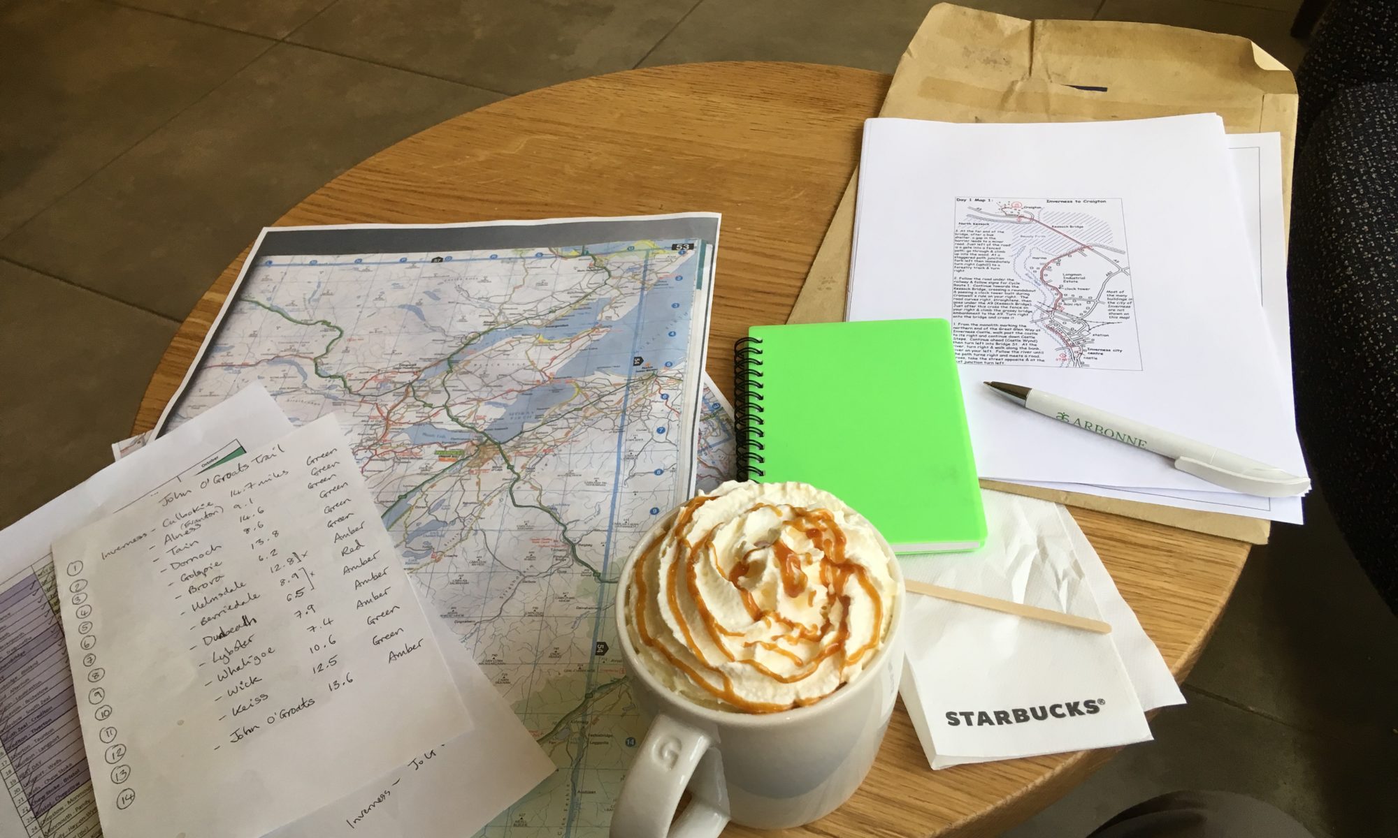
Total miles: 21.2
Elevation gain: 1,524 ft
Time walking: 9:15am – 6:30pm
Miles to date: 1,278.6
Another long day! Five of the last six walking days have been 21 miles. No wonder my legs and feet ache! I’m actually amazed at how I’ve managed to do that, I guess it is a sign of my fitness – before this trip I had only ever walked more that 20 miles twice, and never carrying so much weight. Now I’ve had over ten days that were longer than 20 miles, five of which were this past week. Crazy!
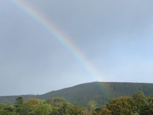
Today was a nice walk, far away from the busy A9 for which I am so grateful. It was a walk of two halves, the first half mostly on quiet roads or cycle tracks, the last half on forestry tracks and paths through beautiful forest. The weather was once again variable, ranging from lovely warm sunshine to bitter cold winds and squally rain. It was therefore a bit of an on/off with the waterproofs day, but it also meant I saw some beautiful rainbows!
The day started on the cycle track out of Evanton, which although tarmac was mostly set back from the road and ran through pretty trees. There was a rather long and dull stretch into Alness along a fairly busy road but there was a pavement at least and some views out to Cromarty Firth. I popped into the leisure centre/library on the edge of town to use the loo and then had a quick break on a bench by a children’s playground, wondering whether people might mistake my for a homeless person! Alness has a few shops but I resisted the urge to buy more food and weigh my bag down more, knowing that tomorrow I’d go through Dornoch and there were a few other small towns over the next few days. Every time I pass a shop though I feel like I should stock up, as I really feel like I am starting to head into the middle of nowhere! But people still live up here, as way up north as it is. There are some beautiful, but incredibly remote, houses up here. I don’t think I could do it!
Out of Alness the route follows a quiet country road for several miles. It was pretty scenery but tough on the feet, pounding along all those miles. I gave a bit of a cheer when the route diverted into a pretty wood. Suddenly to be fully back in nature, on a winding narrow path, surrounded by trees, ferns and heather, was really lovely, and it was a pleasant mile or so. Even some squelchy bits! At one point along a wider track a large tree had fallen across the path and as it was currently sunny and I was about halfway I decided to stop for some lunch. I used the tree as a drying rack for my tent, which had been wrapped up soaking wet in my bag for the last three days. Sooo nice to get it dry! It’s unpleasant enough carrying a wet tent around – it’s heavy and starts to make everything else damp – but climbing into a wet smelly tent on a cold evening is even more horrible!
Getting going again after the extended break was a bit of a challenge, it took a while to warm up my muscles and joints once more, but it was good to have had the break. As I rejoined the road it started to spit with rain again but I was fed up of putting waterproofs on only for the rain to stop 5 minutes later so I tried to cover my head and the top of bag with my bright green rucksack cover. I’m not sure the look will take off….I resembled something like a giant lime green walking shower cap! Still, I managed without the waterproofs for that shower at least!
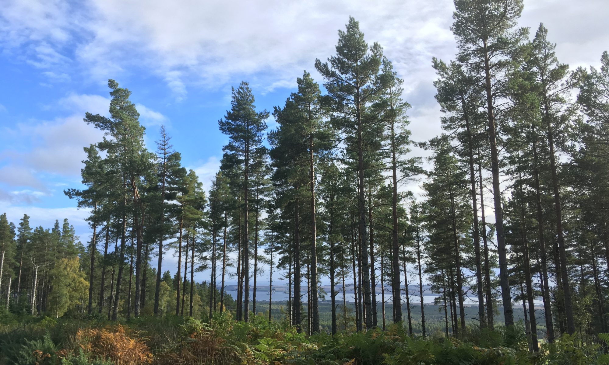
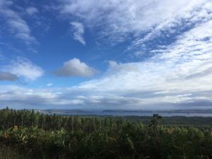
At Scotsburn the path finally left the road and headed up into woods, the first major uphill of the day (still not massive, but it got the heart pumping!) and some proper mud to negotiate. The forests around here are very pretty. They are still conifer forests but they are much lighter than those further south. There’s plenty of space between the trees for light to reach the forest floor which is a rich carpet of ferns, moss, heather and smaller trees. Once back on flatter ground the path gradually widened out into a gravelled forest track which somehow seemed more pleasant than some of the tracks I’d followed recently, I think just because the forests were more open. It helped that at this precise moment in time the sun was shining and it was a lovely autumnal afternoon. Occasionally the trees would open out and there were some super views back over the Cromarty Firth.
15 miles in and I was running low on water but I found a handy stream where there was a lovely wooden shelter so I stopped for a water refill and a quick break, pleased to shelter out of a brief patch of drizzle. It was uphill again from here but I saw a few other people which made a nice change, mainly runners and mountain bikers. I passed “A Dog’s Grave”, famous enough to be signposted, dating back to 1928! The grave read “Geordie, faithful friend and constant companion for 11 years of John Dewar. Killed by a road hog near Perth, 9th Aug 1928. Served with the 3rd Bat. The Cameronians 1917-1918”.
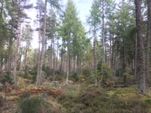
The path left the main track and led through more pretty woodland and felled forest, getting quite boggy in places (a nice change after days of firm forest tracks and roads), lonely but beautiful. This was Morangie Forest, it took me a while to figure out why that sounded familiar…think Glen Morangie whiskey! At a loch flanked by pine forest and tall breezy grass the scene was so Canadian I half expected to see a bear or moose lazily wander out of the trees to take a drink. Ahead the view opened out to the sea and as the path started to descend around a bend I had a glorious teaser of the coastline I’d be following in the days to come.
My feet and legs were really starting to feel it by this point and I was glad when the path finally dropped down to a track which would lead me pretty much to my campsite. It was 6pm already, later than I had expected given the good time I’d made earlier in the day. I guess there were a few more hills and it was a bit further than I’d thought, plus as I really should know by now, the second half is always slower as I get tired! Despite feeling rather pleased at my rapid progress over the last few days, I’m even more pleased to realise that today should mark the end of the long days. I slow down from here, with my longest day being in the region of 15 miles, with a couple of days as short as 8 miles. I won’t know what to do with myself!
I have to be more careful with evenings now though, the sun sets before 7pm these days and if it’s a rainy day the light goes really quickly! Still, I was at the campsite by 6:30pm which wasn’t too bad and I had the choice of pitches as I was the only tent there! The only downside was that the map had indicated there was a pub by the roundabout just by the campsite…sadly it turned out to be a Jehovas Witness Hall…not quite the same thing! Strange, for the OS maps to get that wrong?! Ah well, it was dehydrated chicken curry for dinner for me (actually really tasty!) huddled up in multiple layers as it is COLD tonight! I made the most of the benches and light though and stayed outside for quite a while…evenings are quite long and uncomfortable when they are spent sitting huddled in a small tent for the few hours before bedtime! I went through several cups of tea and a hot chocolate before eventually I got too cold to stay out, retiring to my sleeping bag wearing thermals, socks and warm hat, pulling every drawstring on my sleeping bag and its hood close. It’s a chilly one tonight!